


Measure the site. Skip the scaffolding.
Survey and inspection drones for maps, 3D models and close-up checks of roofs, towers and power lines. Progress and volumes measured from the air, with records you can compare month to month.
Maps and 3D models of the site.
The same flight every month, for a clear before and after.
Roofs, towers and lines checked without climbing.
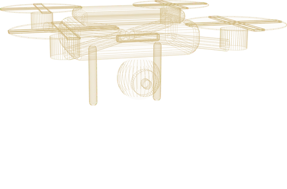 STRUCTURE · SURVEY DRONE
What it does.
| Work | Survey, 3D models and inspection |
|---|---|
| Outputs | Maps, models, photos and volume reports |
| Rules | Flights planned and flown within aviation rules |
| Operation | Our pilots, or your team after training |
| Connects to | Projects, assets and stock records |
| Delivered with | Flight planning, processing, training |
| Support | Maintenance, spares and batteries |
Models and full specifications depend on your application. Your proposal lists the exact robot and its datasheet.
Where it works.
Progress and quantities, every month.
Stockpile volumes without walking the pile.
Lines and towers checked from the air.
Delivered and supported by Azzir.
Topographic survey and 3D models. Construction progress records. Roof, tower and power line inspection. Stockpile volume measurement.
How we deployTalk to a robotics specialist.
Tell us the job. We propose the robot, a trial and a price, usually within two working days.